Where are we?
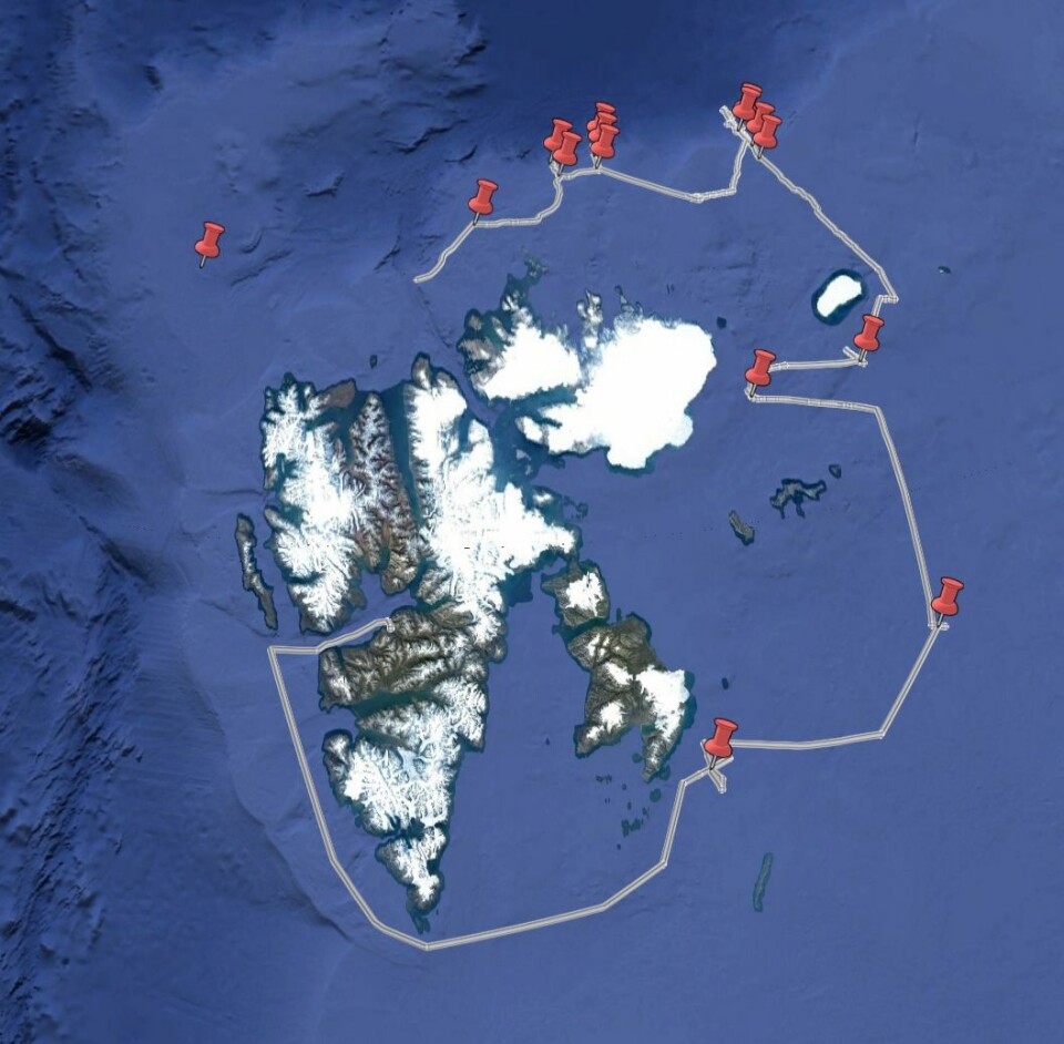
If you look at a map of the planned cruise track, it looks like we just for the fun of it want to go once around Svalbard.
While without doubt much of the route would offer nice sightseeing if there was light, route planning is driven by three main factors:
1. the main region of interest for our science
2. the most efficient use of ship time, and
3. the current sea ice conditions.
And actually, past ice conditions as well, but we’ll get back to the later.

The Nansen Legacy project explores how the Barents Sea works, and the part of the project our cruise directly contributes to is most interested in the northern Barents Sea where the exchanges with the Arctic Ocean take place.
A lot of our data come from the moorings I wrote about earlier. The locations of those moorings have been chosen after extensive discussions to make sure that we really capture the currents, water masses, and vertical and horizontal processes that will help us understand the physical drivers of the living Barents Sea.
And so, the first part of this cruise was dedicated to service the moorings that were deployed last year and are located southeast of Edgeøya, on the slopes of Storbanken, and either side of the southern part of Kvitøyrenna.
But this cruise is not only a Nansen Legacy cruise, but joint with the A-TWAIN/SIOS InfraNor project. A-TWAIN has had moorings in the water since 2012, and they are located north of Kvitøya at about 31degrees East. Therefore, after the Barents Sea work, with a few CTD stations thrown in for good measure in some strategic locations, we went around Kvitøya and headed north.
When you look at our ship track, you can see that we did a few trips back and forth along a line at 31deg E. That’s the result of efficient use of ship time – some of the moorings were simple recoveries, some were recovery and deployment of a new mooring with different instruments, and some were recovery and deployment of instruments that just came out of the water. In that case, there is some time needed between recovery and deployment to download the data, to check that the instruments are in good condition for another year or two in the water, and to put in new batteries. Instead of just lying still during this time, we do CTD stations to get a better idea of spatial patterns that the moorings cannot capture.

Before the start of the cruise, we of course followed the development of the sea ice cover in around Svalbard.
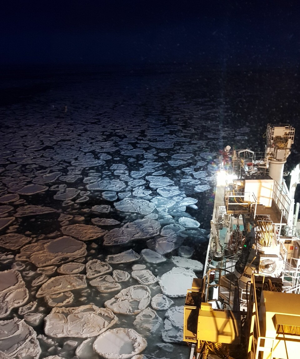
With a summer that was dominated by lots of ice along the north of Svalbard, we had to plan with enough time to be able to deal with whatever ice we might find – would it be thick, compressed ice that would slow us down massively, or thin, young ice that would nicely dampen any waves but not pose to much of an obstacle for our icebreaker?
Luckily, the ice has been kind to us so far. Less than one meter thick at its thickest in the far north of the A-TWAIN transect, and otherwise mostly thinner young ice, it couldn’t stop our vessel and was cooperative enough that the captain and the officers always managed to make a nice hole big enough for mooring operations.
Of course, we are not the only ones with fieldwork and moorings up here affected by the ice. In the weeks between various summer cruises until we left Longyearbyen, we received several messages asking for help. Partners in the Nansen Legacy and the A-TWAIN projects had struggled to recover or deploy their moorings all around the northern coast of Svalbard all summer, and we were the last chance to get them out this year.
And so, thanks to our great time management (ho hum...) and kind sea ice, we have now picked up a few more moorings for our Norwegian, Polish, British and French partners on the way back towards Longyearbyen. A real “service” cruise!


